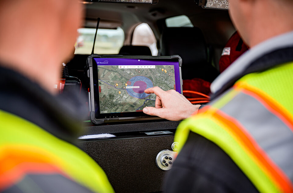
The IRSN has selected Kalisio to maintain the mapping applications for crisis
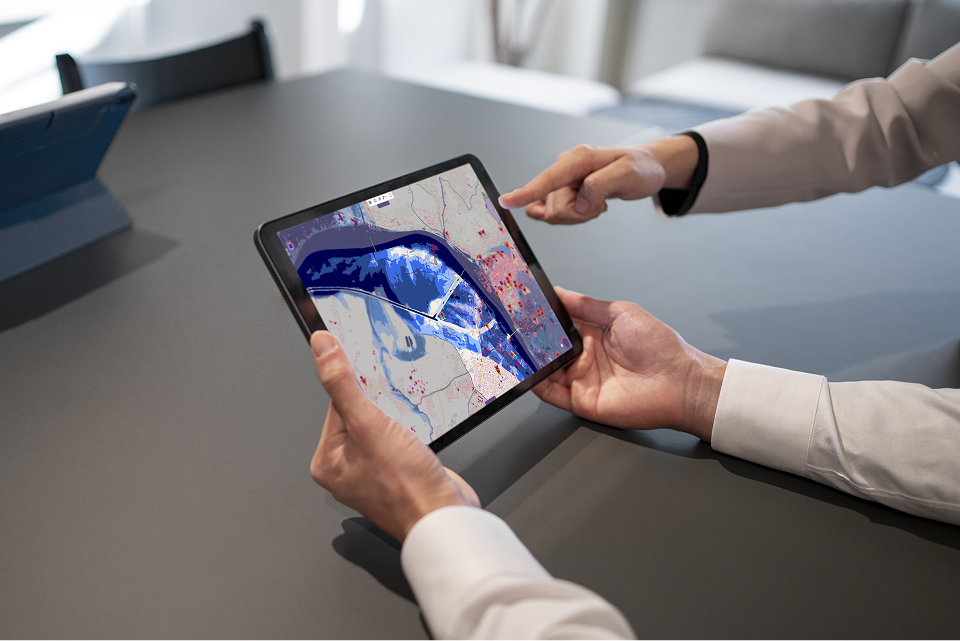
We are delighted to announce that Kalisio has been awarded the third-party maintenance contract. This contract covers web-based mapping applications for the CRISE division of the IRSN (Institute for Radiation Protection and Nuclear Safety). The scope of maintenance covers the CRITER, WebInfoRad, Teleray, and OPAL applications, as well as the IRSN Planet platform. This collaboration […]
Hyper-local weather and operational risk mapping: safeguarding agriculture and communities in the face of crises
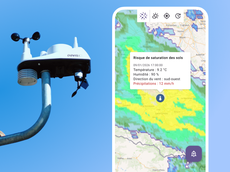
In many organizations, local weather data already exists, and analytical tools make it possible to track trends or trigger regional alerts. However, when it comes to making decisions in the field, coordinating a rescue team, initiating a response, or starting agricultural treatments, this information often remains isolated and disconnected from the reality on the ground. […]