An open platform, from data processing to specialized apps
Collect, process, cross-reference, and distribute geospatial data tailored to your specific needs.
- Private cloud
- On premise
- Interoperable
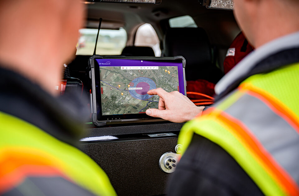
Crisis Management
Environmental Monitoring
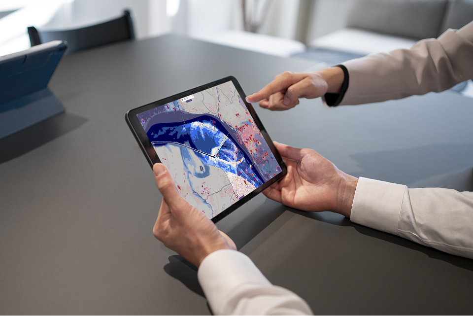
Digital Twins
Logistics and transport
Asset Management
Tailor Made
From datas to action
A cloud-native architecture designed for operational environments, from the field to to command centers.
Industry apps
Turn data into decision-making tools.
Geospatial services
Analyze, secure, and share your data through shared services.
Data infrastructure
Collect, process, and host your data.
A shared platform
Reduce costs
Maximize the value of every project
Accelerate deployment
Ensure long-term sustainability
Authentication, access control, and encryption.
99% availability with continuous monitoring.
Backups, replication, and disaster recovery.
Continuous maintenance and proactive lifecycle management.
Designed for mission-critical environments
Where availability, confidentiality, and data integrity are essential.
Real-time data flows
- Data streaming
- Alerts
- Multi-user synchronization
- IoT data
Open and sovereign
- Open Source
- Cloud or on-premises
- European hosting
- No vendor lock-in
Interoperable
- WMS, WFS, WMTS
- GeoJSON, KML, PMTiles
- API REST or Websocket
Applications built on the Kalisio Platform



Connect your applications to the Kalisio ecosystem
Build your application with the open-source KDK and seamlessly connect it to the Kalisio platform’s core services, including mapping, real-time data, user management, notifications, APIs, and more.