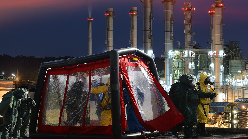
Bring the reality on the ground back to your organization
Infrastructure inspections, environmental inventories, asset tracking, or post-event surveys: Kalisio Field supports your teams in collecting, sharing, and centralizing data directly from the field.

Manage your geolocated assets
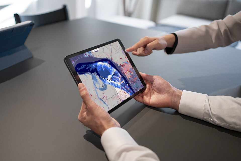
Monitor the condition of your equipment, infrastructure, or natural areas, schedule maintenance, and keep a record of your observations directly on a map.
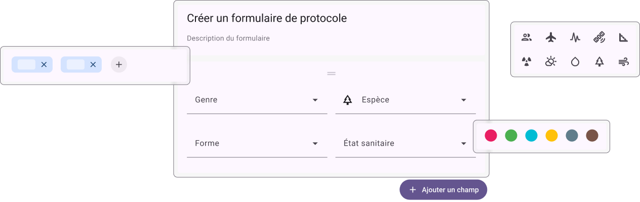
Prepare your forms
Create forms tailored to each data collection or inspection campaign.
Collect data in the field
Photos, observations, GPS coordinates, and line-of-business information are entered directly from the field.
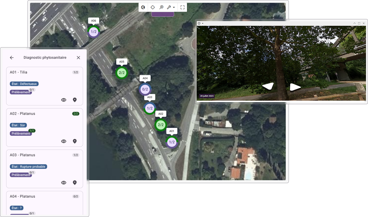
Ensure data quality
Validate the collected data before integrating it.
Centralize results
Access all data in a shared platform to track the progress of your campaigns.

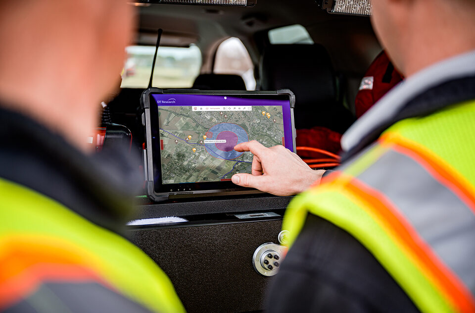
Used by ASNR teams to collect environmental measurements during crises
Data is collected directly in the field, centralized in real time, and shared with the coordination teams.
The Kalisio ecosystem's data collection app.
The data collected in the field powers all Kalisio solutions: map visualization, real-time monitoring, and response coordination.
You benefit from a consistent, open, and scalable environment built on open-source technologies.