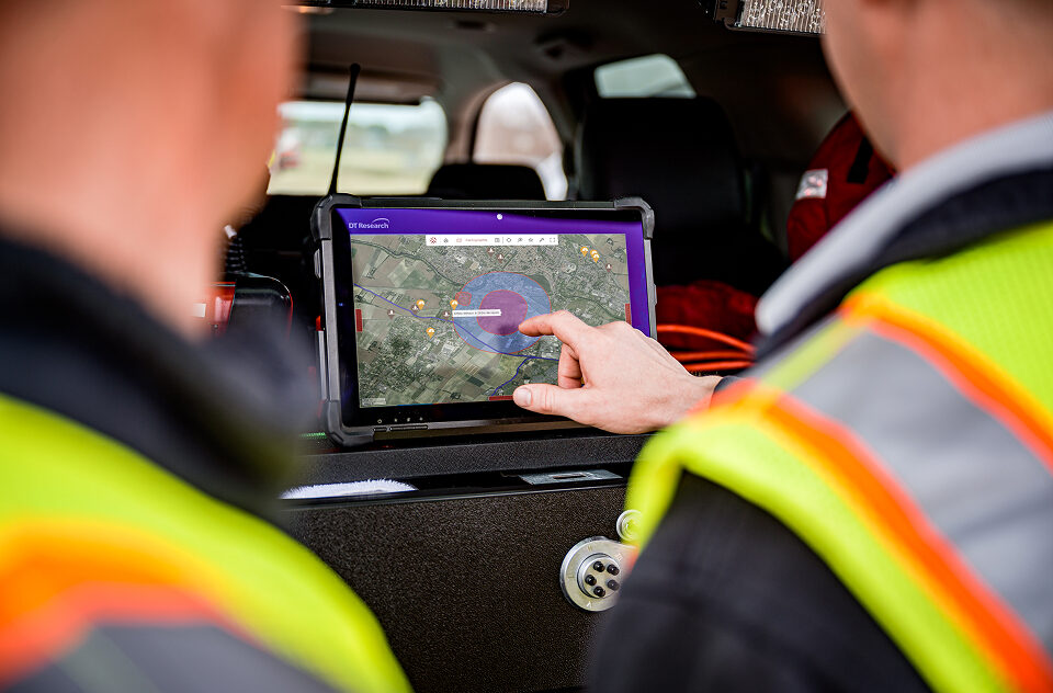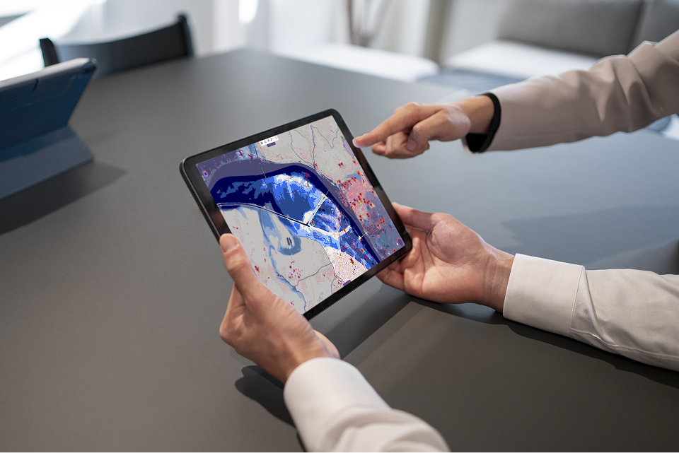
- WebSIG
- Open Source
- API
The open-source mapping engine for your industry applications
Real time
Track the evolution of a situation as it unfolds.
Collaborative
Work simultaneously on the same data.
Multi-source
Cross-reference weather, IoT, field, imagery, and business data.
Create your operational maps
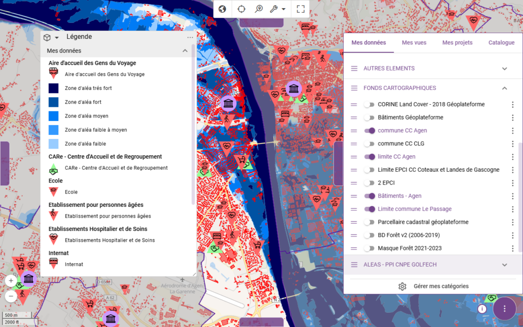
- Visualize phenomena over time
- Organize your maps
- Collaborate in real time
Compatible with your data
Geographic Data
Imagery & Orthophotos
LiDAR
Field Photographs
Weather Data
IoT Sensors
Mobility
Assets and Teams
Edit your information directly on the map
Create, edit, and update your data directly on the map, either on your own or collaboratively.
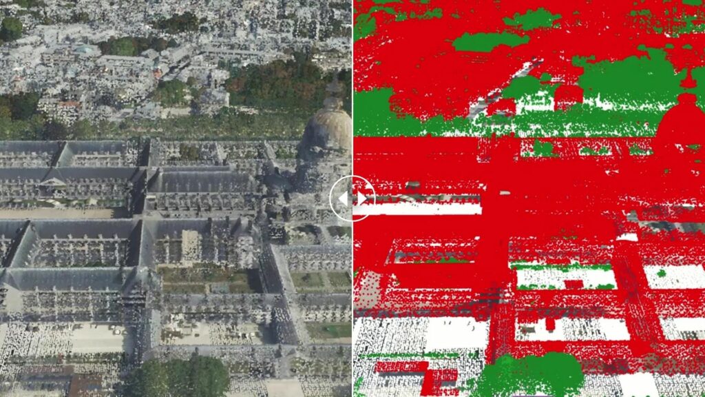
Explore your data in 3D
Visualize your data on a 3D globe, and analyze terrain, volumes, and geospatial phenomena in their real-world context.
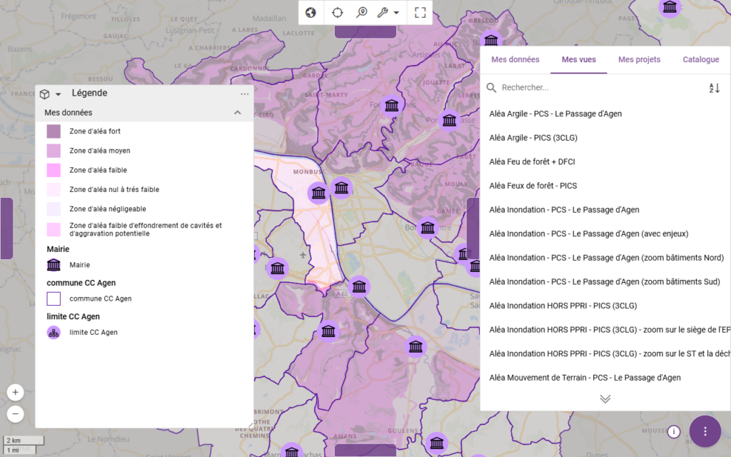
Organize your projects
Group your layers, data, and views into workspaces tailored to each use case or team.
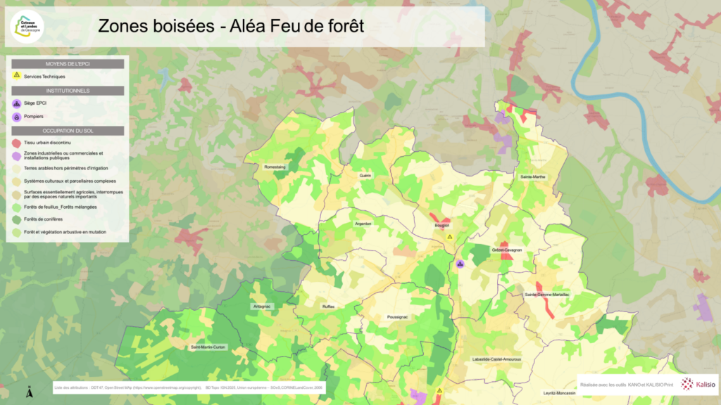
Easily export your maps as images or reports.
Integrate Maps into your ecosystem
Use Kalisio Maps as a standalone web GIS, or integrate its mapping components into your GIS or business applications using its API.