
Bormes-les-Mimosas brings in Kalisio Crisis
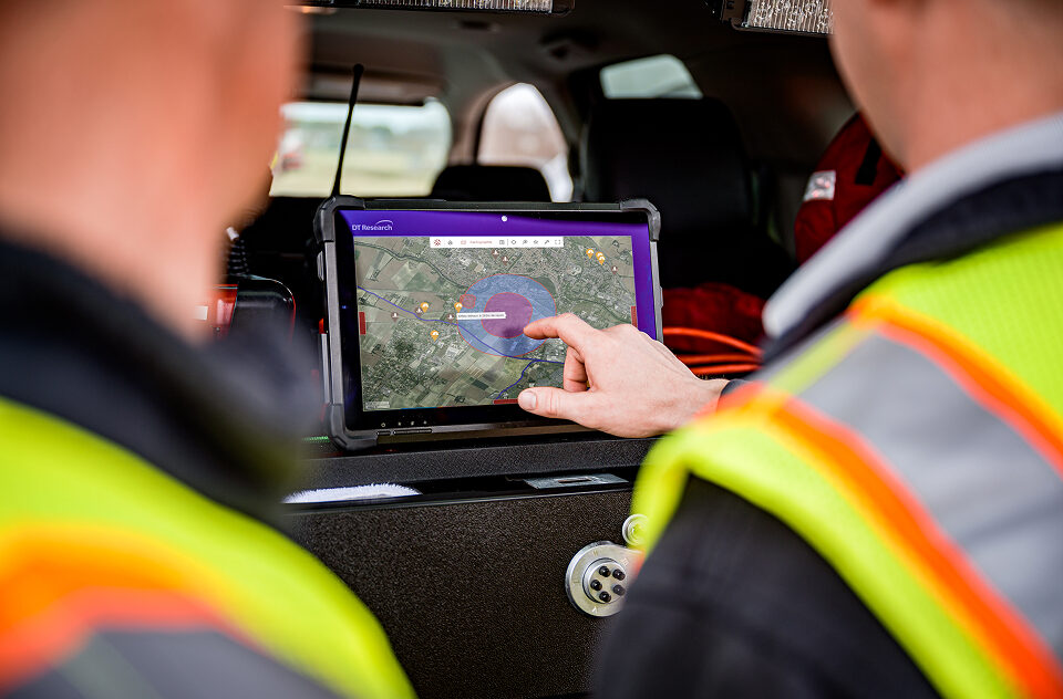
Since he can explain it better than we can, we’ll let Samuel Legigan, head of the Municipal Civil Protection Department in Bormes-les-Mimosas—who has just joined our user community—speak for himself: “The Bormes town hall has chosen the Kalisio Crisis solution to equip its municipal command center. This solution meets the needs of a community like […]
The IRSN has selected Kalisio to maintain the mapping applications for crisis
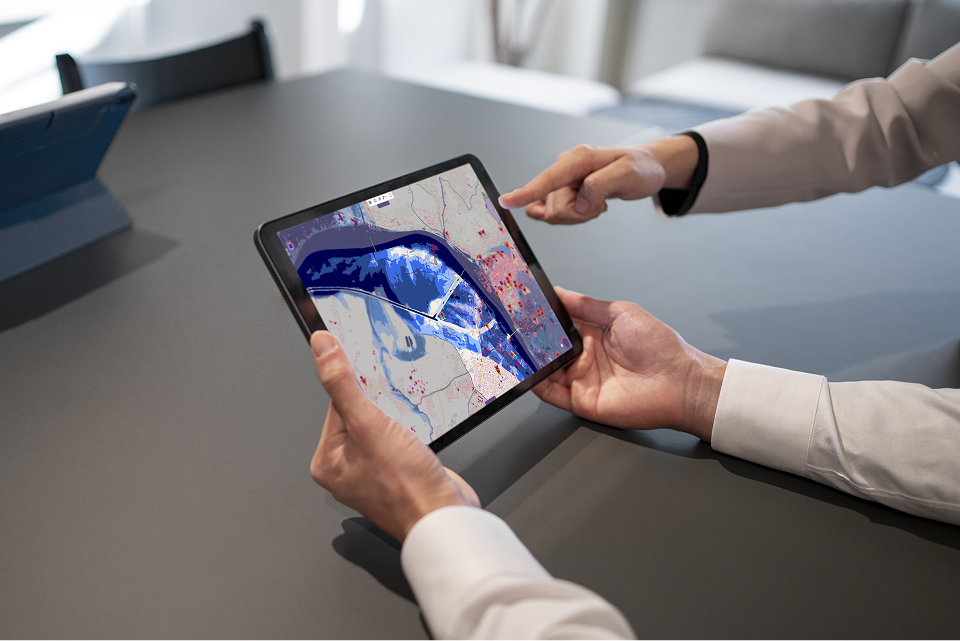
We are delighted to announce that Kalisio has been awarded the third-party maintenance contract. This contract covers web-based mapping applications for the CRISE division of the IRSN (Institute for Radiation Protection and Nuclear Safety). The scope of maintenance covers the CRITER, WebInfoRad, Teleray, and OPAL applications, as well as the IRSN Planet platform. This collaboration […]
Kalisio wins the IRSN’s TMA WEB SESUC contract
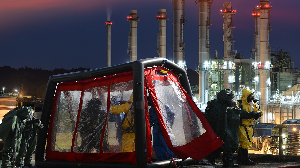
We are proud to announce that the IRSN (French Institute for Radiation Protection and Nuclear Safety) has selected KALISIO to provide ongoing and corrective maintenance for the web applications used at the Technical Crisis Center (CTC) and by experts at the BMCA (Office for Environmental Transfer Modeling to Study Accident Consequences). This strategic win strengthens […]
Kalisio Maps in action with Airbus UpNext!
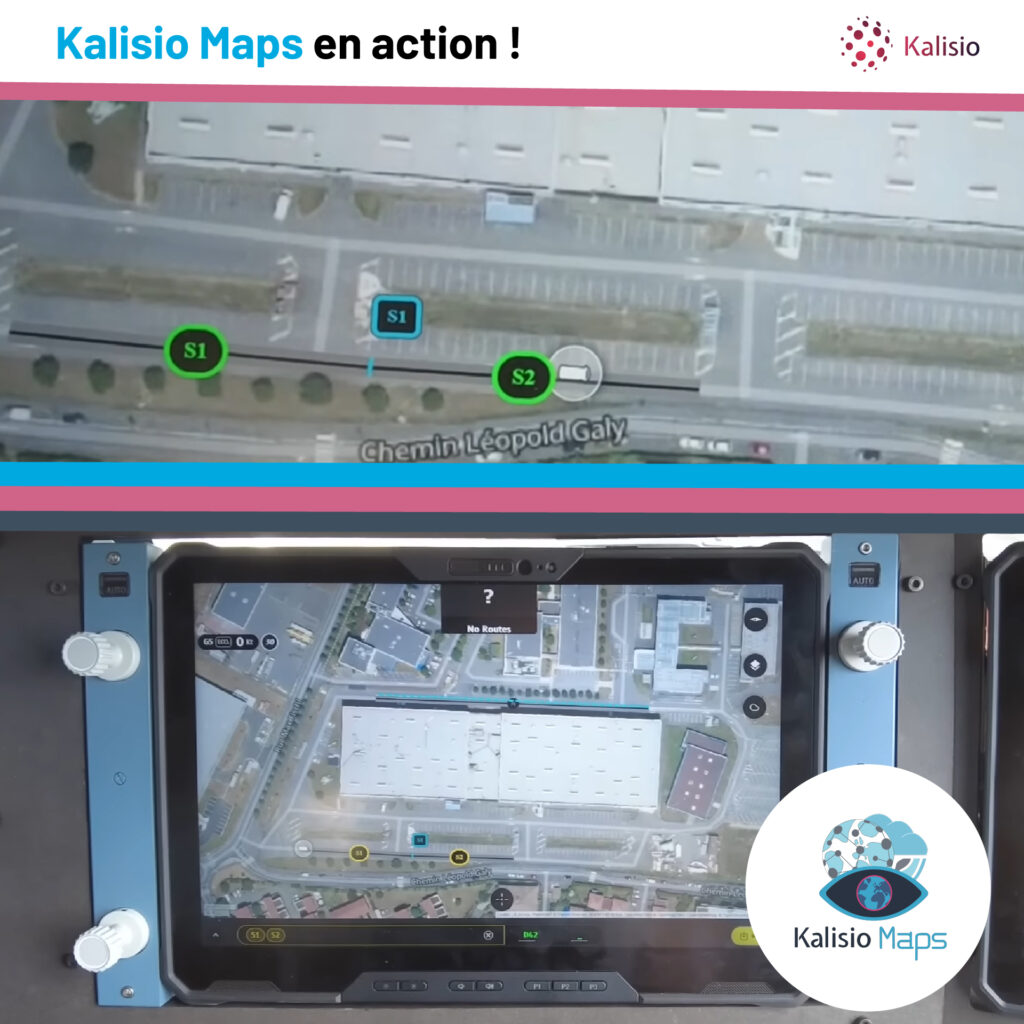
The Kalisio team is honored to apply its full range of technical expertise to support Airbus UpNext as part of its Optimate demonstrator, which explores innovative technologies that contribute to the safety and efficiency of air travel in the face of growing airport congestion. As part of this effort, our real-time collaborative mapping solution, Kalisio […]
Kalisio Maps’ technical expertise at the service of Airbus
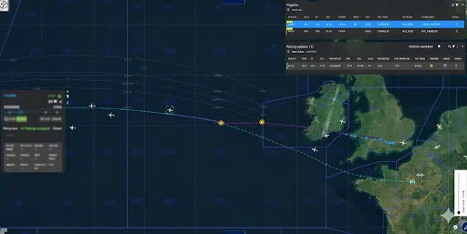
The Kalisio team is proud to see its technical expertise put to use in Airbus’s Fellow’Fly project, which aims to harvest wake energy to reduce fuel consumption without requiring any modifications to its aircraft. As such, our real-time collaborative mapping solution, Kalisio Maps, supports the Airbus teams throughout their testing. Our participation allows the project […]
Hyper-local weather and operational risk mapping: safeguarding agriculture and communities in the face of crises
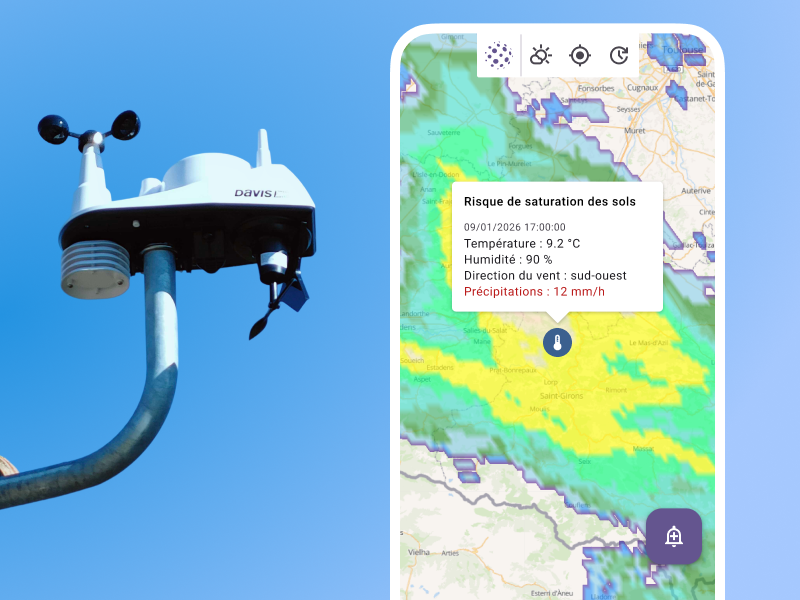
In many organizations, local weather data already exists, and analytical tools make it possible to track trends or trigger regional alerts. However, when it comes to making decisions in the field, coordinating a rescue team, initiating a response, or starting agricultural treatments, this information often remains isolated and disconnected from the reality on the ground. […]