- Open Source
- Real time
- Interoperable
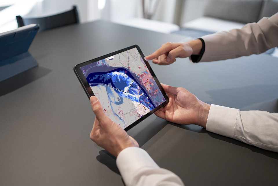
Turn geospatial data into situational awareness





Monitor your environment
Identify risks early
Coordinate operations
(firefighters, experts, engineers)
managed since 2017
9 years of operation
9 years of operation
National nuclear emergency exercises
A shared geospatial platform providing all stakeholders with a common operating picture during national nuclear emergency exercises.
Airbus Flight Test
Airbus Flight Test relies on a shared geospatial platform to share data, services, and functionality across its flight-test applications.
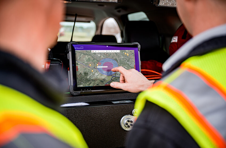
Coordinate emergency response in minutes
French departmental fire and rescue services (SDIS) use Kalisio Crisis to mobilize responders faster and improve information sharing between field teams and the chain of command.
Solutions tailored to your needs

Kalisio Crisis

Kalisio Teams


Built on an open, shared platform
All Kalisio solutions are built on a common geospatial platform that grows with every project.
This shared approach allows development efforts to be reused across solutions and ensures that your tools can evolve over time.
Interoperable
Connect your GIS, databases, and business applications within a single platform—without changing your existing tools—through open standards and integrated APIs.
Open Source
Maintain control over your infrastructure and data while benefiting from open, auditable, and future-proof code.
Real time
Combine and visualize data as events unfold.
High availability
A secure, cloud-native infrastructure that is scalable and continuously monitored.