Since he can explain it better than we can, we’ll let Samuel Legigan, head of the Municipal Civil Protection Department in Bormes-les-Mimosas—who has just joined our user community—speak for himself:
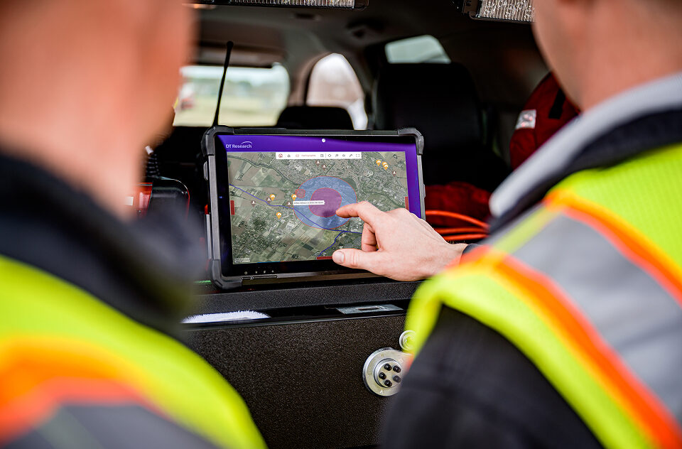
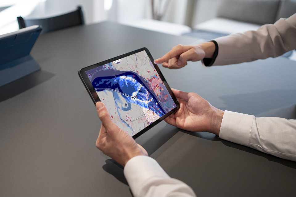
“The Bormes town hall has chosen the Kalisio Crisis solution to equip its municipal command center. This solution meets the needs of a community like ours: namely, an operational map with multiple layers, a logbook, as well as the ability to track on-the-ground operations and schedule our crisis response processes, which simplifies the implementation of our actions through the creation of predefined scenarios.
The various tests conducted on the platform—particularly with institutional partners (the Fire and Rescue Service and the Gendarmerie)—demonstrate the added value of this tool for sharing information, visualizing actions, and incorporating feedback from the field.
Furthermore, the entire Kalisio team remains available to answer our questions and refine the tool based on our feedback, thereby providing us with a turnkey solution.”